Haqlحقل
 A teaching atlas of Saudi Arabiaأطلس تعليمي للمملكة العربية السعودية
Saudi Arabia Teaching Atlasالأطلس التعليمي للمملكة العربية السعودية
Four west-to-east lines turn relief into a teaching instrument. Move through the three-dimensional terrain, open a visual evidence plate and test how connected systems change without losing the line.تحوّل أربعة مقاطع من الغرب إلى الشرق تضاريس المملكة إلى أداة تعليمية. استكشف التضاريس ثلاثية الأبعاد، وافتح لوحة الأدلة البصرية، واختبر كيف تتغير الأنظمة المترابطة من دون أن تفقد مسار المقطع.
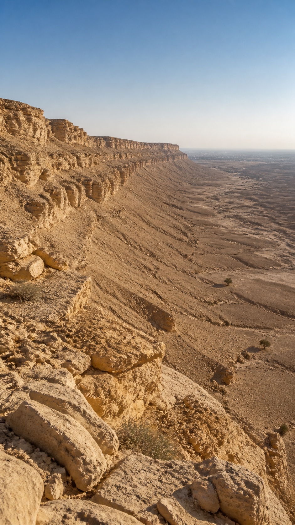
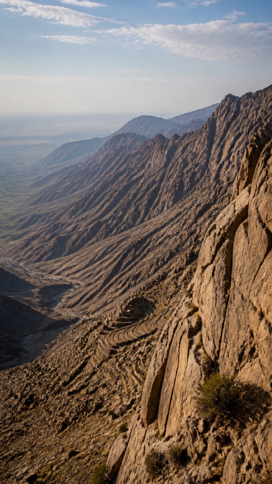
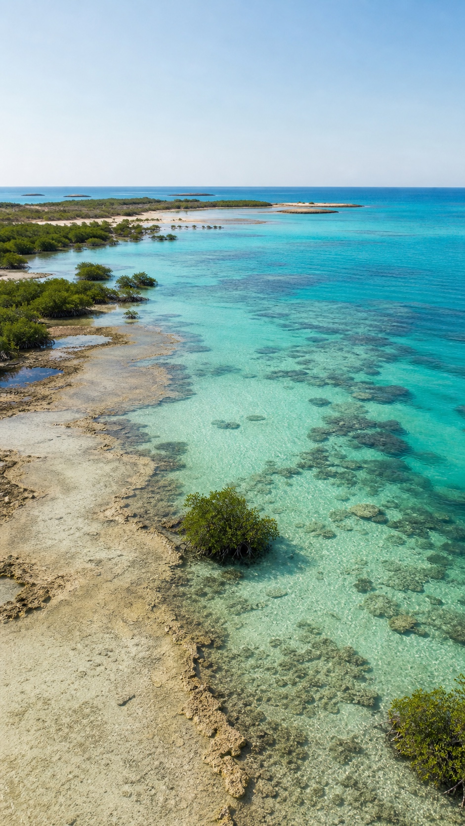
Visual studies from the atlas production library. Evidence remains in the plates.دراسات بصرية من مكتبة إنتاج الأطلس. تبقى الأدلة المعتمدة داخل اللوحات.
Interactive terrain labمختبر التضاريس التفاعلي
Move across the model to read relief as a system boundary. Select a latitude and the terrain, named places, evidence boxes and people all change as one connected line.تحرّك عبر النموذج لقراءة التضاريس كحدّ بين الأنظمة. اختر خط عرض فتتغير التضاريس والأماكن المسماة ومربعات الأدلة والأشخاص معاً كمقطع واحد مترابط.
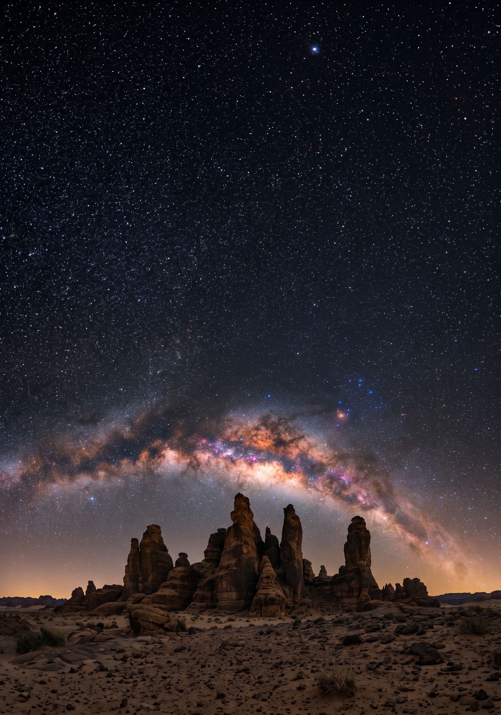
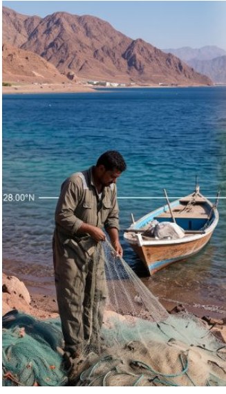
N1 / 28.00°N
Where does water availability change the meaning of distance?أين يغيّر توفر المياه معنى المسافة؟
Follow this line into the live evidenceتابع هذا المقطع إلى الأدلة المباشرةVisual study from the atlas production library. Not a geolocated record.دراسة بصرية من مكتبة إنتاج الأطلس. وليست سجلاً لموقع جغرافي.
Gulf of Aqaba to the Arabian Gulfمن خليج العقبة إلى الخليج العربي
People of this lineأشخاص هذا المقطع
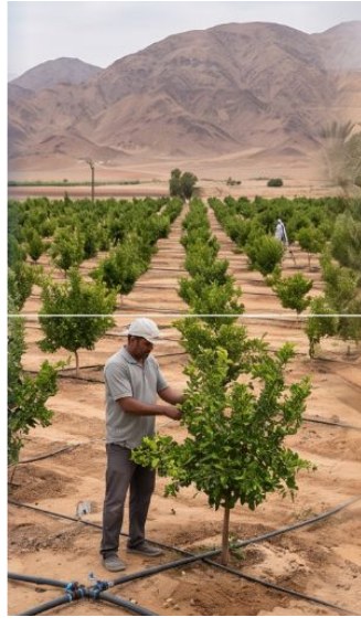
Illustrative teaching personas. Real geography, invented individuals. Positions are editorial and not to scale.شخصيات تعليمية توضيحية. الجغرافيا حقيقية والأفراد مبتكرون. المواضع تحريرية وليست بمقياس.
Haqlحقل
Tabukتبوك
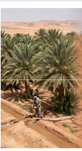
Taymaتيماء
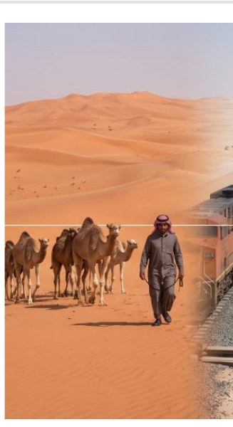
An Nafudالنفود
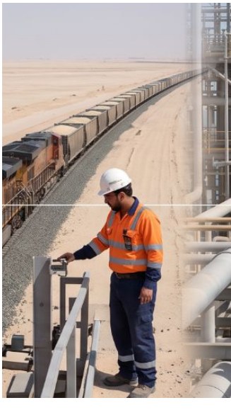
North–South lineخط الشمال–الجنوب
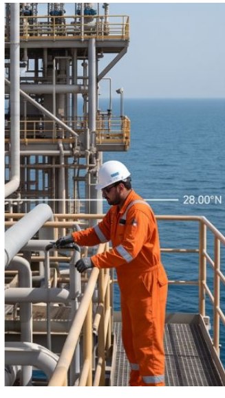
Arabian Gulfالخليج العربي
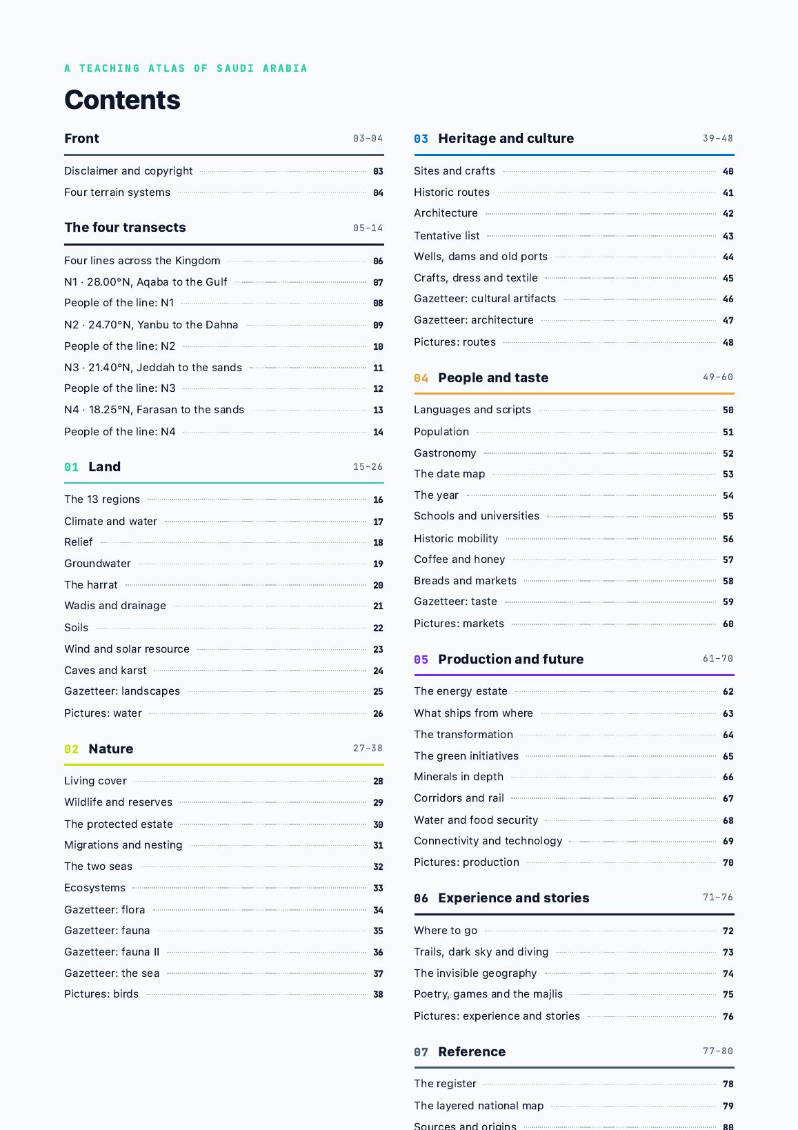
Inside the complete atlasداخل الأطلس الكامل
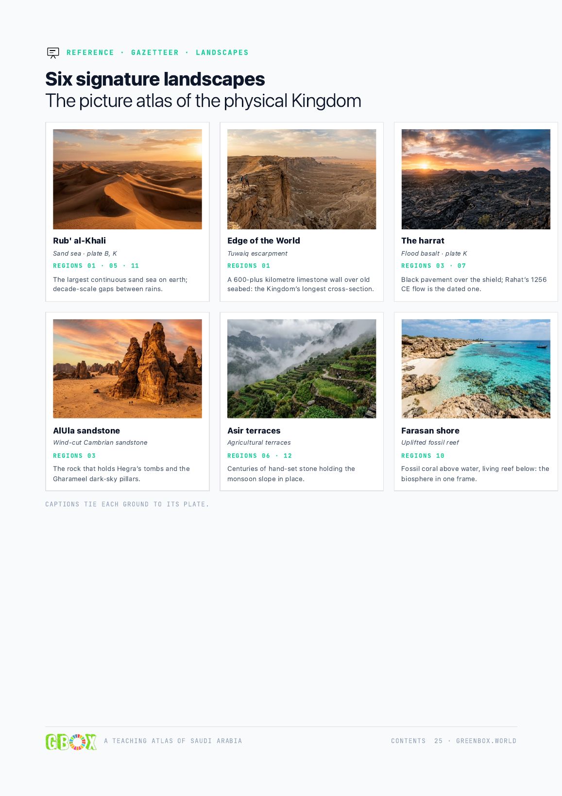
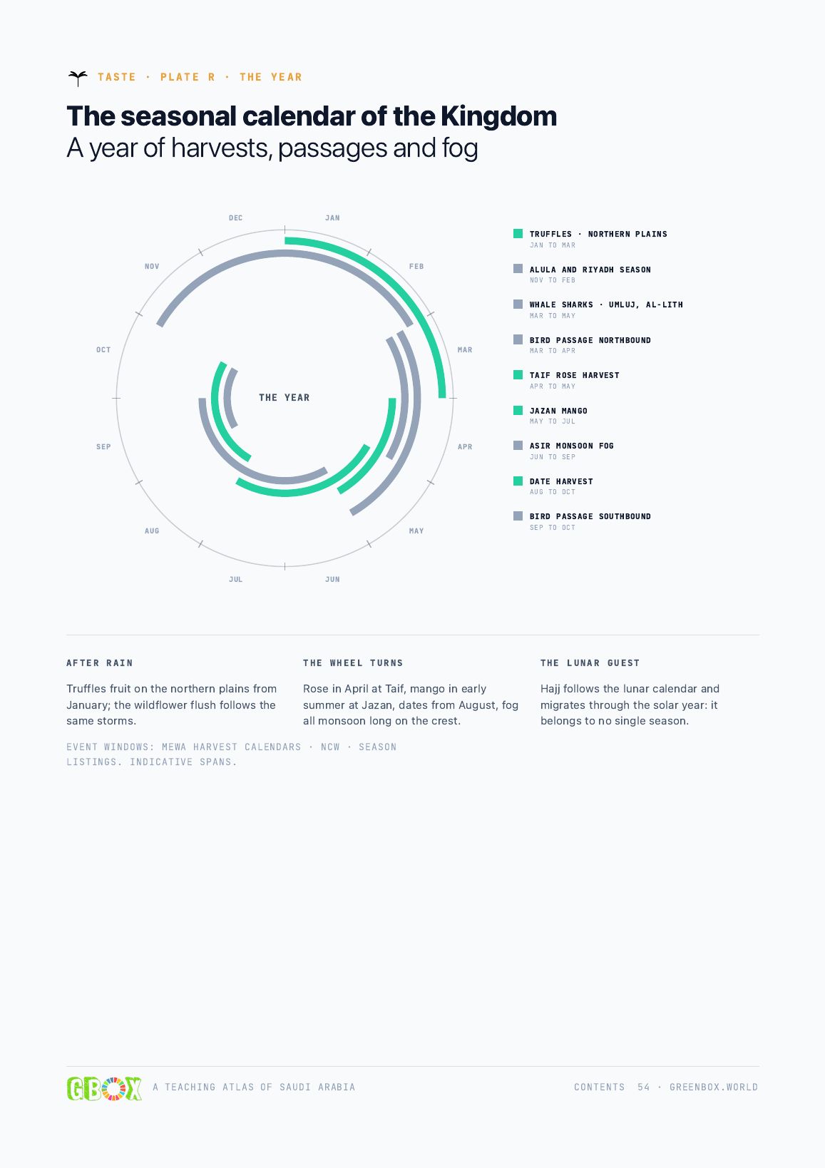
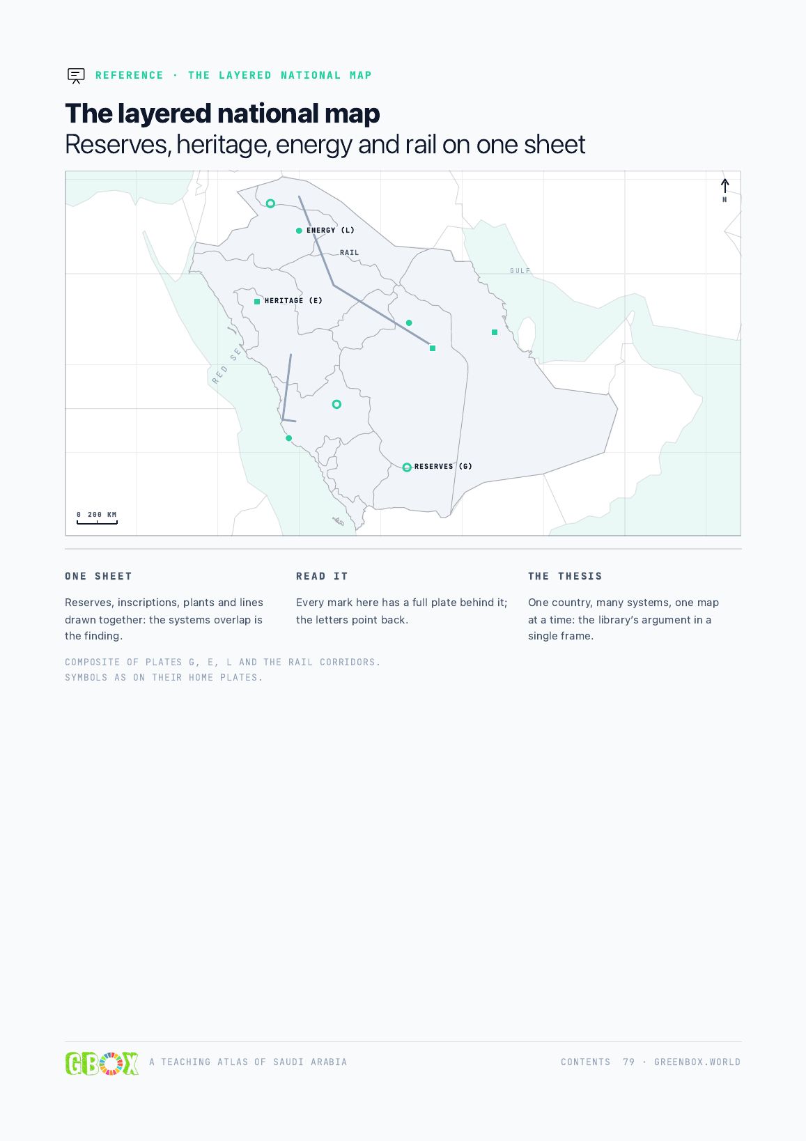
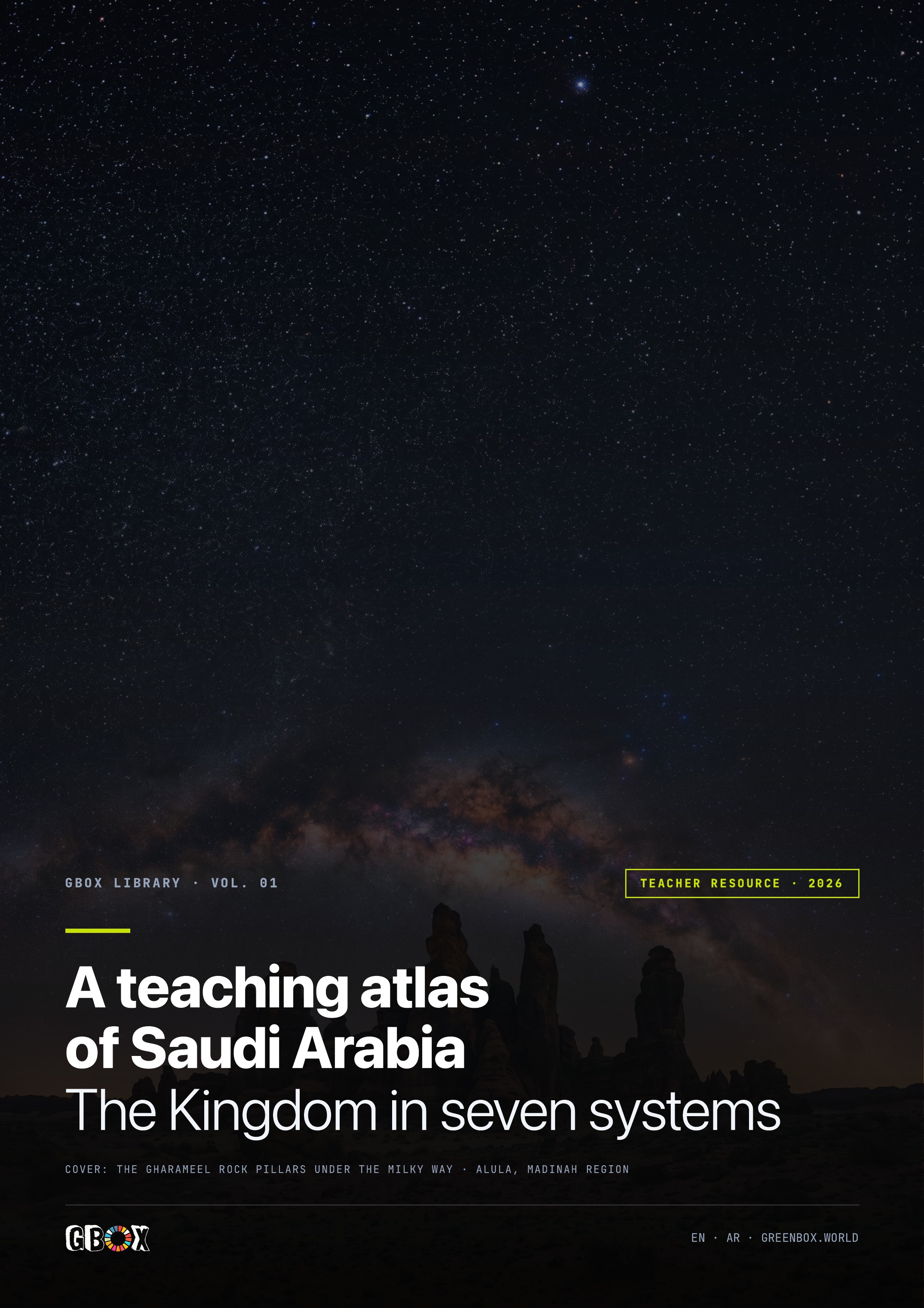
The complete edition connects land, living systems, heritage, people, food, production and travel. These are real page previews, selected to show how the atlas moves from discovery to reference.تربط النسخة الكاملة بين الأرض والأنظمة الحية والتراث والناس والغذاء والإنتاج والسفر. هذه معاينات حقيقية لصفحات مختارة تبيّن كيف ينتقل الأطلس من الاكتشاف إلى المرجع.
Continue beyond the previewتابع إلى ما بعد المعاينة
Request the complete edition for classroom, studio or research use. The short form below helps GBOX understand who will use it and where.اطلب النسخة الكاملة للاستخدام في الصف أو الاستوديو أو البحث. يساعد النموذج المختصر أدناه GBOX على معرفة من سيستخدمها وأين.
Complete atlas accessالوصول إلى الأطلس الكامل
Tell us who will use the atlas and where. GBOX will review the request and respond by email. The atlas remains an independent educational resource. No government endorsement is claimed.أخبرنا بمن سيستخدم الأطلس وأين. ستراجع GBOX الطلب وترد عبر البريد الإلكتروني. يظل الأطلس مورداً تعليمياً مستقلاً ولا يدّعي أي اعتماد حكومي.
Publication noteملاحظة النشر
Compiled from publicly available data: the censuses, registers and filings named on the sources page. Facts draw on Saudi national sources where published.
Base-map geometry is open data (Natural Earth, geoBoundaries, SRTM), not an official GEOSA depiction: verify at geosa.gov.sa before official use. A geographic reference, not a government publication, and not a basis for legal or boundary decisions. Indicative marks say so. Picture-gazetteer imagery is AI-generated (Nano Banana) and illustrative. Corrections: hello@thegbox.org.
Compiled by the GBOX team: environmentalists, geographers and sustainability engineers. The team reviewed the named sources in full and studied the cultural and social practices described before curating this library.
© 2026 The Green Box World. All rights reserved. greenbox.world · hello@thegbox.org
جُمعت مواد هذا الأطلس من بيانات متاحة للعامة، بما في ذلك التعدادات والسجلات والإفصاحات الواردة في صفحة المصادر. وتعتمد الحقائق على المصادر الوطنية السعودية متى كانت منشورة.
تعتمد هندسة الخرائط الأساسية على بيانات مفتوحة (Natural Earth وgeoBoundaries وSRTM)، وليست تمثيلاً رسمياً صادراً عن الهيئة العامة للمساحة والمعلومات الجيومكانية. يجب التحقق عبر geosa.gov.sa قبل أي استخدام رسمي. هذا مرجع جغرافي وليس منشوراً حكومياً، ولا يصلح أساساً لاتخاذ قرارات قانونية أو ترسيم الحدود. وتُوصف العلامات الإرشادية بوضوح. صور دليل المواقع مولدة بالذكاء الاصطناعي (Nano Banana) ولأغراض توضيحية. للتصحيحات: hello@thegbox.org.
أعد الأطلس فريق GBOX من متخصصين في البيئة والجغرافيا وهندسة الاستدامة. راجع الفريق المصادر المسماة كاملة، ودرس الممارسات الثقافية والاجتماعية الواردة قبل تنسيق هذه المكتبة.
© ٢٠٢٦ The Green Box World. جميع الحقوق محفوظة. greenbox.world · hello@thegbox.org